Noble Drive NE from Johnson Road NE to Meadowvale Avenue NEFord Street NW from Spring Avenue NW to the Dead EndHowell Mill Road from Trabert Avenue NW to Huff Road NW10th Street NE from Piedmont Avenue NE to Monroe Drive NETechwood Drive NW from North Avenue NW to Bobby Dodd Way NWWoodland Avenue SE from Lyndale Drive SE to Burn Street SE
Sign up for Text Updates. Text “JOIN” to 470-524-7673
20
loriem ipdum
About Us
Our Story
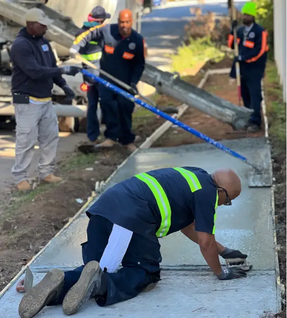
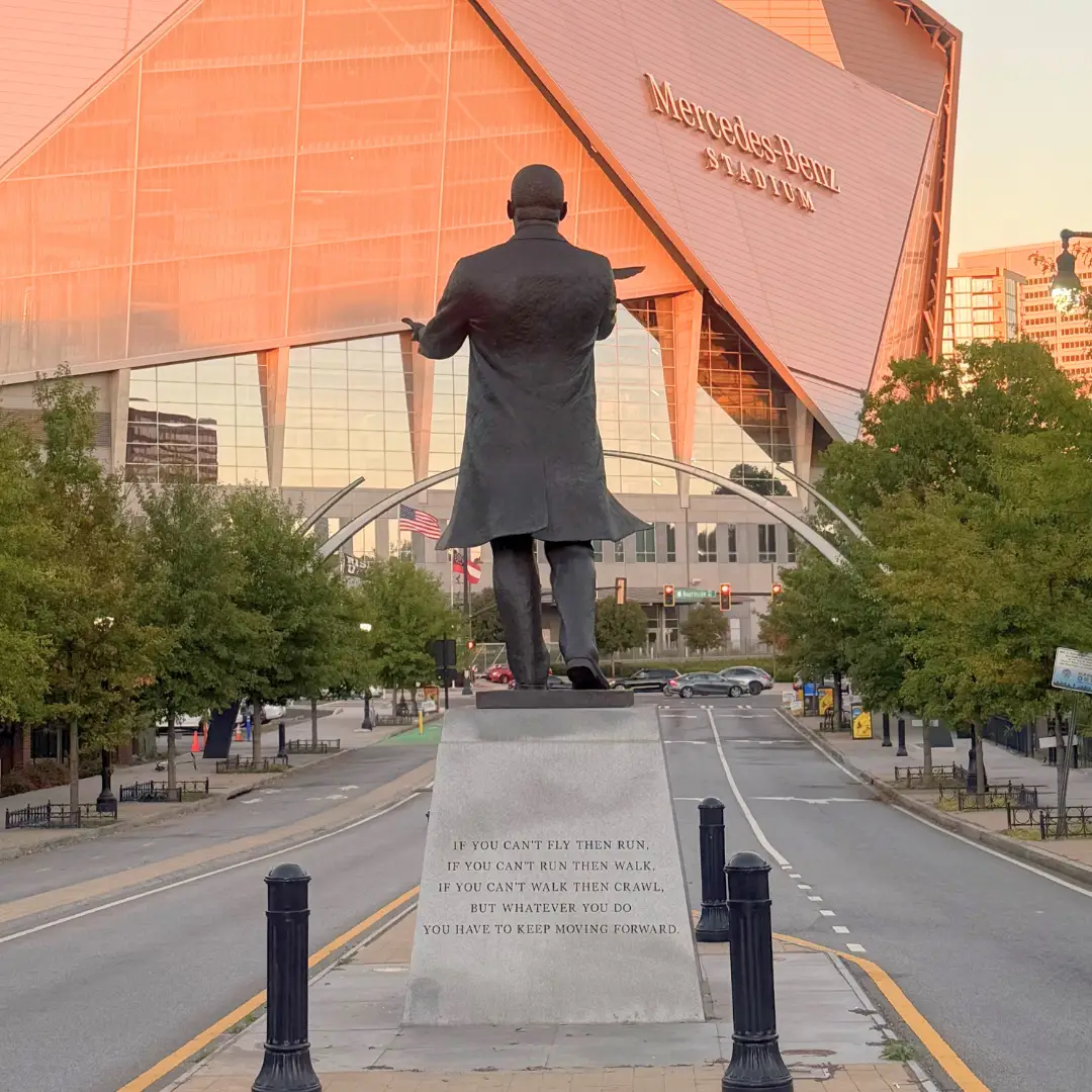
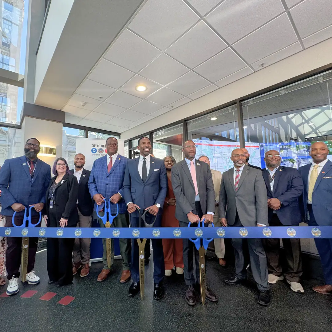
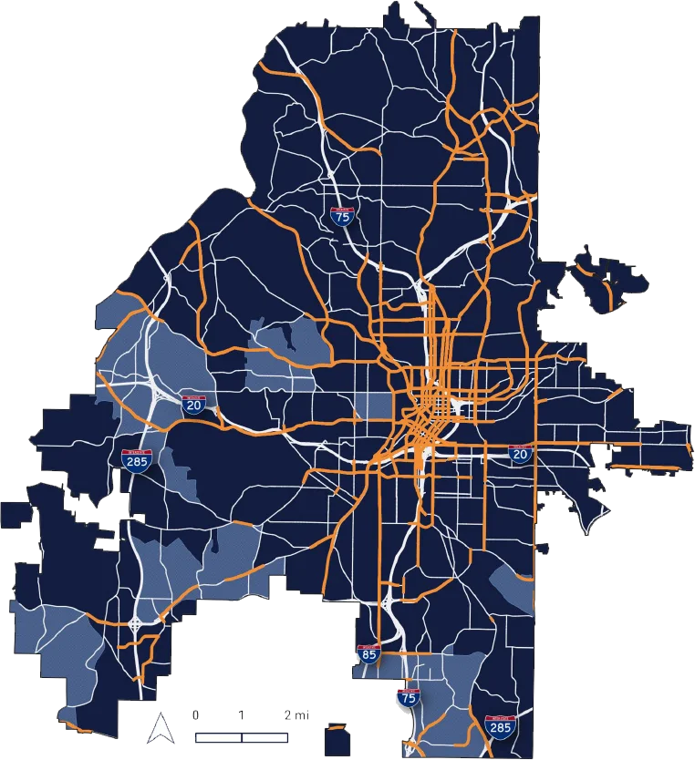
Atlanta is growing and strengthening its position as a global city. To support that growth, the Atlanta Department of Transportation (ATLDOT) is working to create a transportation network that is safe and accessible for everyone. Established in 2019, ATLDOT serves as the City’s one-stop shop for transportation, leading the planning, design, construction, and maintenance of streets, sidewalks, bike facilities, traffic signals, and other critical infrastructure. Guided by the One Atlanta Strategic Transportation Plan, ATLDOT is investing in mobility solutions that improve how people move throughout the city while supporting economic opportunity and quality of life for the residents and visitors of Atlanta.
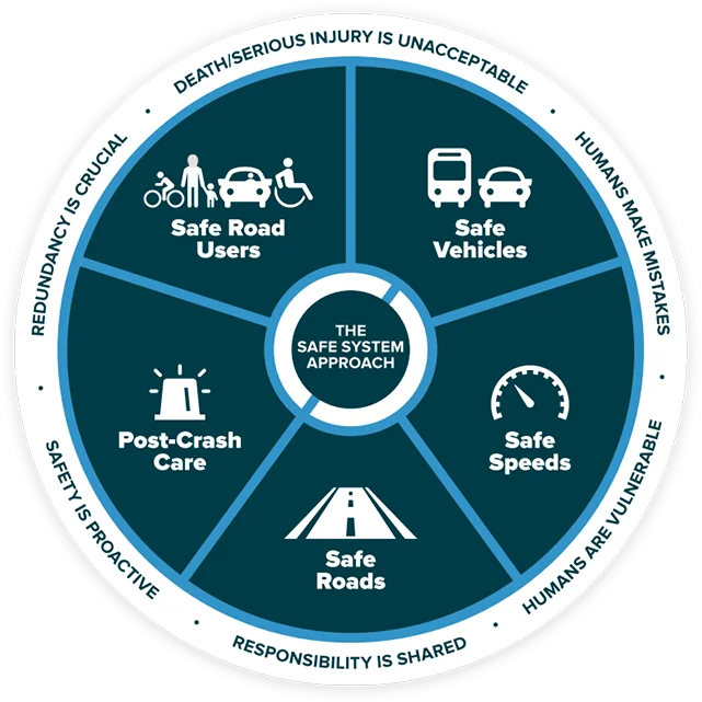
Adopting a Vision Zero policy
Tripling protected bike lanes
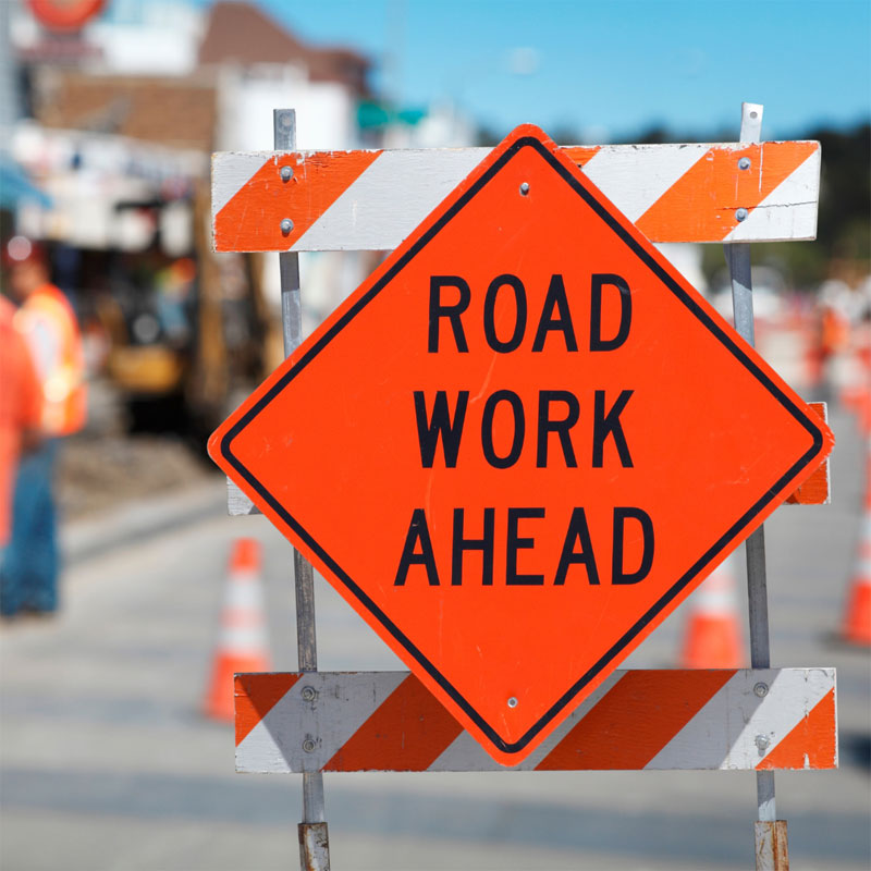
Improving city roads
Reducing the parking footprint
Increasing bus service, reliability, and neighborhood connectivity
Continuing this effort, the city formed the Atlanta Department of Transportation (ATLDOT) in 2019 to serve as the coordinating agency for all transportation matters within the city government. This department is designed to be a one-stop shop for citizens and external agencies. Built with dedicated staff from the Depart-ment of Public Works, City Planning and Renew Atlanta, ATLDOT will be fully equipped to plan, design, construct and maintain the mobility network outlined in the One Atlanta Strategic Transportation Plan.