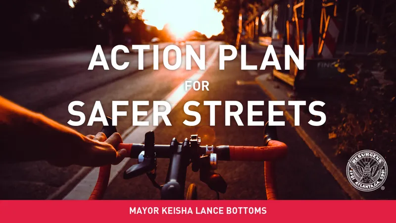
Through the APSS, Atlanta will more than triple its on-street protected bike network. By the end of 2021, Atlantans will see more than 20 miles of safer streets.
The Action Plan for Safer Streets launched with a Pop-Up Bike Lane on 10th Street in October 2019. The City collected data to monitor safety, utilization, and traffic operations. See the results here.
MOVING
ATLANTA FORWARD
Strategic Transportation Plan
Key goals for improving the city’s mobility options and transportation network include:
- Connecting southwest Atlanta to Westside Trail and MARTA
- Providing north-south connections between Midtown, Downtown, and West End
- Bridging the gap between Grant Park and West End
- Expanding access to MARTA stations, city parks, and schools by providing first/last mile connections
- Reducing risk as 100% of routes are on the city’s high-injury network or near schools